Arizona’s Origins and Statehood
Historical Timeline
In the 1500s, Spanish explorers, led by Marcos de Niza and Francisco Vázquez de Coronado, arrived in the area now known as Arizona, which at that time was a part of Mexico. Native tribes such as the Hopi and Apache had already been living in the region for thousands of years1.
The Mexican-American War took place in the mid-1800s, culminating in the Treaty of Guadalupe Hidalgo in 1848. As a result, the United States gained control of the land now recognized as Arizona, along with present-day California, Utah, Nevada, and New Mexico2.
In 1853, the Gadsden Purchase added the southern parts of Arizona and New Mexico to the United States, establishing the Arizona Territory3.
Achieving Statehood
For several decades, Arizona remained a territory of the United States. In 1911, President William Howard Taft approved the joint statehood of Arizona and New Mexico. However, due to a disagreement over provisions in Arizona’s proposed constitution, statehood was postponed4.
On February 14, 1912, Arizona finally achieved statehood, joining the Union as the 48th state5. Hawaii, which became a state in 1959, was the only state that joined the Union after Arizona6.
Arizona’s journey to statehood was heavily influenced by its rich history and ties to Mexico, as well as the determination of its settlers and leaders. Today, Arizona is a vibrant state with a diverse population, where the traditions of its Native American, Mexican, and Spanish roots can still be seen and celebrated7.
Landscape and Nature Highlights

Famous Landmarks
Arizona is well-known for its Grand Canyon National Park, a geological marvel carved by the Colorado River. This magnificent landscape attracts millions of tourists every year. Another notable landmark is the Petrified Forest National Park, which hosts one of the world’s largest and most colorful concentrations of petrified wood.
The state is also home to Lake Havasu City, where the reconstructed London Bridge can be found. Arizona contains numerous national monuments, such as the remarkable Tonto Natural Bridge, recognized as the largest travertine bridge in the world.
Unique Geography
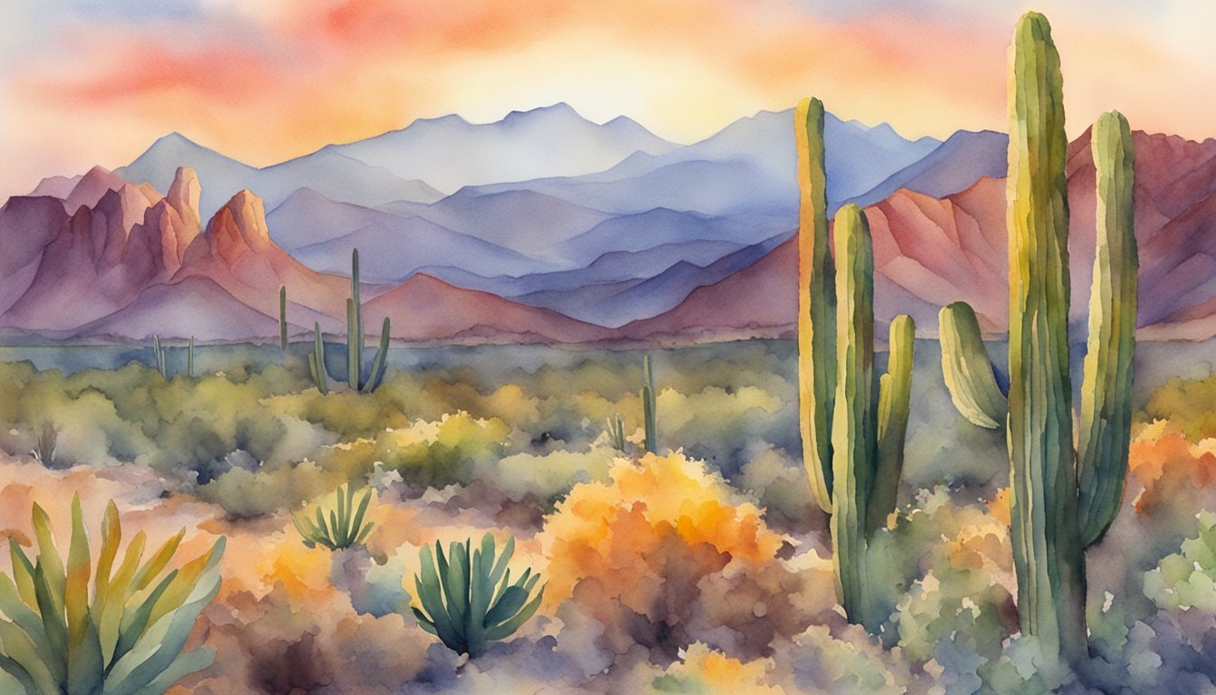
Spanning a vast range of elevations, Arizona’s geography is diverse and unique. The Sonoran Desert covers much of the state and features the iconic saguaro cactus. The Colorado Plateau in the northern region consists of forests, deserts, and mesas, contributing to the state’s distinct landscape.
Humphreys Peak stands tall as Arizona’s highest point at an elevation of 12,637 feet, offering breathtaking views of the surrounding forests and plateaus. The geography of the state even extends to the Navajo Nation, the largest Native American reservation in the United States.
Arizona’s fascinating array of natural landmarks and unique topography showcase the state’s unparalleled beauty and make it an attractive destination for nature enthusiasts, adventurers, and casual travelers alike.

