Understanding Google Maps Car
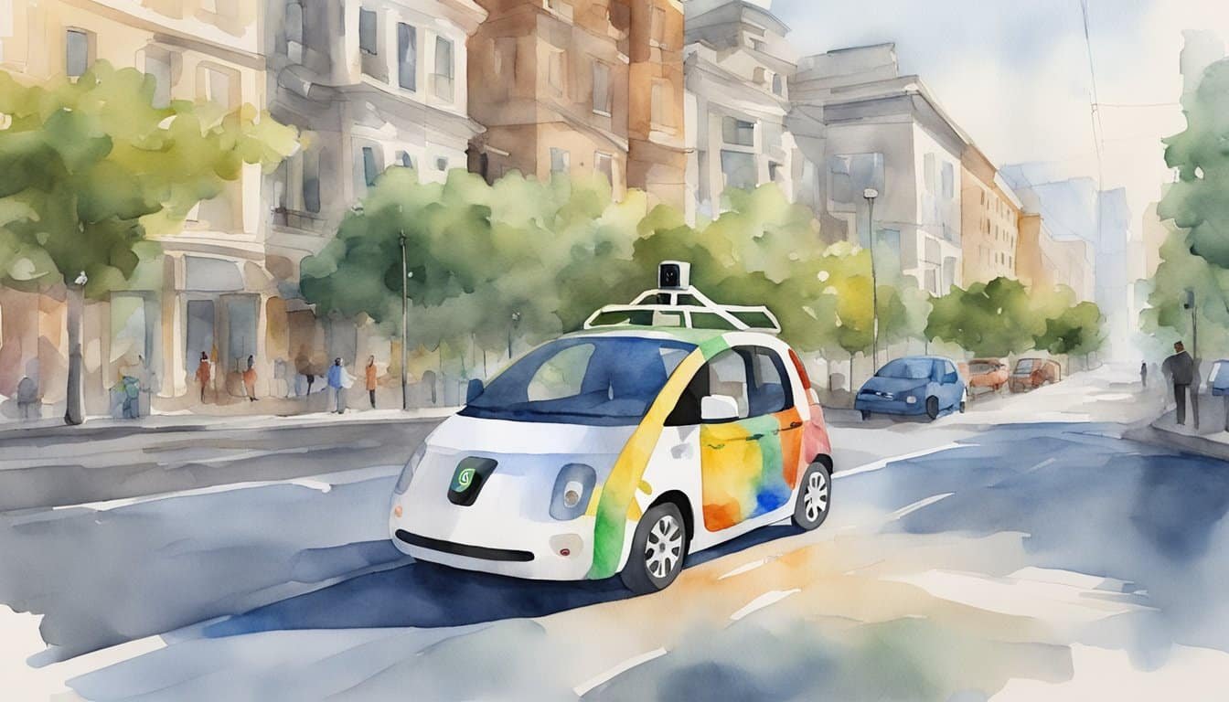
The Google Maps Car, a vital cog in the mechanism of Google’s mapping services, captures imagery for the ever-evolving Google Street View. These cars roam streets worldwide, transforming the way people navigate and explore.
Purpose and Functionality
The primary purpose of Google Maps Cars is to collect panoramic imagery for Google Street View, which allows users to virtually explore and navigate environments on their devices. Outfitted with specialized cameras, these vehicles capture 360-degree views of the surroundings as they travel through cities and rural areas, contributing to the detailed maps that users rely on for accurate navigation and location data. The information is meticulously processed and stitched together, offering an immersive street-level experience.
History and Evolution
Google Street View began in 2007, with the Google Maps Car quickly becoming its iconic symbol. Initially launched in several cities in the United States, it has since expanded its reach immensely, gathering comprehensive visual data from every continent. Google Maps Cars have transformed significantly over the years, with upgrades to their cameras and sensors, in order to improve the clarity and accuracy of the images captured, illustrating an ongoing commitment to refining digital mapping.
The journey of these cars remains intriguing, from the high-tech equipment they house–such as LiDAR systems for measuring distances–to their contributions to easing daily commutes. They have also sparked discussions on privacy and data collection, leading to better protocols for blurring faces and license plates. Discover the meticulous process behind these vehicles by diving into the technological advances and challenges through this pilot study from Budapest for a deeper insight.
The evolution of how we navigate and view the world is partly thanks to the unassuming fleet of Google Maps Cars, a testament to human curiosity and technological progress.
Google Maps Car Features and Integration

Google Maps has evolved far beyond simple navigation, incorporating various features that enhance the driving experience. These include AR for better real-world understanding, seamless media control, and extensive mobile device compatibility.
Augmented Reality (AR) Capabilities
The integration of augmented reality into Google Maps introduces an immersive navigation experience. Through AR, users can get real-time directions overlaid on the live view of their surroundings with just their smartphone camera. This feature especially comes in handy for pedestrians in urban areas, making it easier to locate turns and landmarks.
Music and Media Integration
For a harmonized driving experience, Google Maps allows users to control their music and media apps like Spotify directly within the navigation interface. Whether it’s switching playlists or pausing a song, these capabilities enable drivers to stay focused on the road while enjoying their favorite audio content.
Mobile Compatibility
With vast mobile compatibility, users can link Google Maps to various devices including iPhones. This ensures that whether one is an iOS or Android user, they have access to real-time navigation, traffic updates, and route recommendations right at their fingertips, making driving a more connected and streamlined activity.
Practical Applications

Google Maps has revolutionized the way people navigate and find parking. It’s not just for getting from point A to point B; its applications are broad, valuable, and integrated deeply into everyday life for diverse needs.
Navigation and Exploration
With Google Maps, exploration goes beyond just finding an address. Users can discover new locales, plot the quickest or most scenic routes, and even view the real-time traffic conditions to adjust their plans accordingly. The app’s detailed satellite imagery and street views make it possible to virtually explore areas before setting a single foot outside. Local businesses and landmarks are easily discoverable, making spontaneous adventures both simple and exciting.
Parking Solutions
Finding a parking spot can be daunting, but Google Maps offers a solution. It helps drivers locate available parking by providing real-time information on parking garages and lots. In some areas, it even provides street parking difficulty icons to gauge the odds of finding a spot before one even arrives. When it comes to paying for parking, there’s convenience there too; users can handle it directly through the app, thanks to integrations with parking payment services. The hassles of circling blocks and fumbling for coins are swiftly becoming things of the past.

